These Inland ENCs offered here contain data from the Federal Office of Metrology and Surveying (Bundesamt für Eich- und Vermessungswesen). Therefore, the data are subject to data protection under a license agreement and are not to be used for commercial purposes.
The following Inland ENCs can be downloaded:
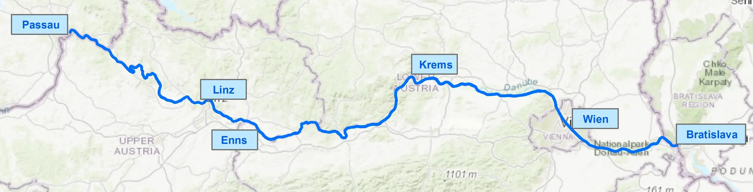
| Austrian Danube (plus Donaukanal) | 2W7D Edition 19 and 2WBD, 28.09.2023 | 32.2 MB | km 2201.5 - km 1872.7 |
This reissue of '2W7D Edition 19' of the Inland ENCs (topographical and shipping police data) is based on the Inland ECDIS Standard 2.4. The Inland ENCs for the common border section between Austria and Germany can be downloaded here.
Reliable depth information is provided by the bathymetric IENC layer with the file name "2WBD....". The bathymetric IENCs "2WBD" contain depth data for the entire Austrian Danube and the common border section between Austria and Germany (river km 2223.2 - km 1872.7) based on the Inland ECDIS Standard 2.4.
The information published here is also available via the free e-mail service ECDIS Newsletter.
Alternatively you can subscribe to the following news feed for Inland ENCs: IENC Feed File
Updates can be downloaded here:
| Update | Size | Details |
|---|---|---|
| Update from October 24th, 2023 | 1.4 MB | |
| Update from November 14th, 2023 | 0.28 MB | |
| Update from November 30th, 2023 | 1.42 MB | |
| Update from December 21st, 2023 | 5.31 MB | |
| Update from January 30th, 2024 | 5.6 MB | |
| Update from February 29th, 2024 | 0.7 MB | |
| Update from April 2nd, 2024 | 2.4 MB |