EuRIS - European River Information Services - gives you easy access to all information you need as a skipper, vessel owner or logistic operator on the main European waterways. You can register your vessels and follow their route, receive a message when one of your vessels passes a certain point on the network and request information on vessels, voyages and cargo. And there are many more possibilities. As the owner of the information, you are always in charge of who is allowed to see which information.
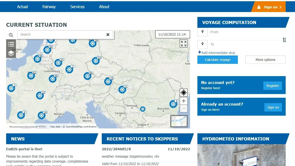
EuRIS presents all waterway and traffic related information of 13 European countries on handy maps or in tables, including
- an anonymized real-time traffic image
- position information of authorized vessels
- Notices to Skippers
- Actual water levels, discharges, bridge clearances, water depths
- information about the fairways, bridges, locks, berths, terminals
- the operating times of locks and bridges
- a Route and Voyage Planner
- travel duration and expected arrival times
- and many more!
EuRIS brings all relevant information together in one single spot!
About the EuRIS platform
The EuRIS platform is the result of a cooperation between 13 European countries. The system gathers national information and services, that are now accessible for you - all in one place.
The international cooperation was effectuated within the RIS COMEX project that ran from 2016-2022. It was a CEF co-financed multi-Beneficiary project aiming at the definition, specification, implementation and sustainable operation of Corridor RIS Services.
With the launch of EuRIS, the operational exchange of RIS data on a European scale is now a fact. This shall allow for traffic management by the authorities and transport management by the logistics sector. The services and information coverage will be constantly improved.
