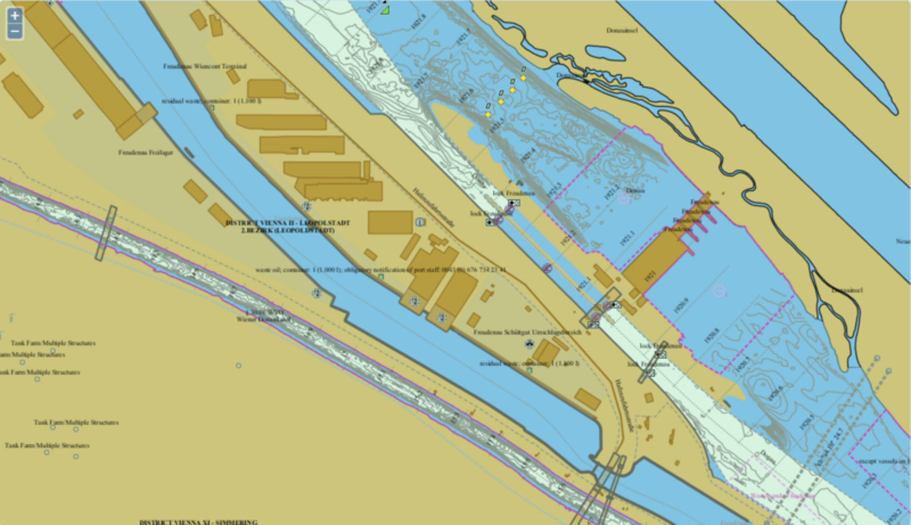
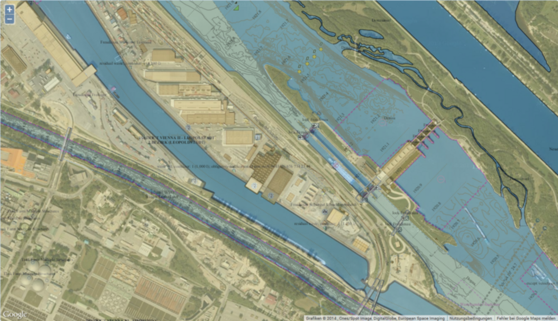
Based on the former D4D (Data Warehouse for Danube Waterways) EU project and the follow-up EU projects NEWADA (Network of Danube Waterway Administrations) and NEWADA duo, a special Web-Map-Service (WMS) (https://www.d4d-portal.info) has been developed providing electronic inland navigational charts, so-called Inland ENCs (Electronic Navigational Charts) free of charge. The Inland ENC WMS provides relevant information on waterways (navigation marks, buoys, river bank lines, fairways, depth data, etc.) the depiction of which would ordinarily be possible only by means of special viewing software; additionally, there is a Google Maps option for easier orientation. Users can now search for information with reference to specific stretches of waterways, depict them in different ways and save them or print them out.
The charts provide the following functionalities:
- user interface in seven languages
- printing-out of individual chart sections as well as saving them in PDF format
- selection of chart sections by entering river kilometres or a specific location
- detailed information on single objects (e.g. locks) contained in the charts via left mouse button
- different ways of depicting chart sections using Google Maps (road, satellite or topographical maps)
The WMS is operated by all waterway management organisations of the Danube area and covers the following areas:
- Danube river (2.415 km - Germany, Austria, Slovakia, Hungary, Croatia, Serbia, Bulgaria, Romania)
- Danube-Black Sea Canal (64,2 km - Romania)
- Main-Danube Canal (171 km - Germany)
- Main (387 km - Germany)
- Mosel (243 km - Germany)
- Sava (210 km - Republic of Serbia)
All data is continuously updated. At a later date, rivers like the Rhein as well as tributary rivers such as the Drava and the Tisza as well as data on other European countries will be included in the charts, too.
The charts available on the web portal contain data supplied by the Austrian Federal Office of Metrology and Surveying (FOMS) and via donau and are subject to intellectual property rights according to copyright law. For any further exploitation and commercial use, the approval of both the FOMS and via donau is required. via donau cannot accept any responsibility as to the correctness of any information included in the charts.
Web portal access: https://www.d4d-portal.info